logo agritecgeo

Are you familiar with

the most advanced

digital agriculture technology

developed for the region?

video disagro1
agritecgeo video
video disagro1
What is it?

It is a new service model supported by digital agriculture diagnostic tools that quickly capture, analyze, and communicate information.

What is it used for?

To make decisions that will help you easily, quickly, and timely improve the profitability of your crop and business.

Benefits
  • Optimization of resources.

  • Precise execution of tasks.

  • Greater knowledge of your crop.

Technology that integrates

all services

software agricultura

Advanced farming software

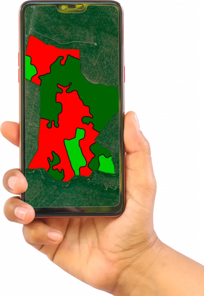
Advanced agriculture software is a tool through which all AgritecGEO services are communicated via a Free App.

Agronomic
consulting

AgritecGeo clients will be advised and supported by highly trained DISAGRO staff with appropriate recommendations on the nutritional and health management of their farm.
asesoria agronomica1 0
analisis diagnostico

Analysis and Diagnosis

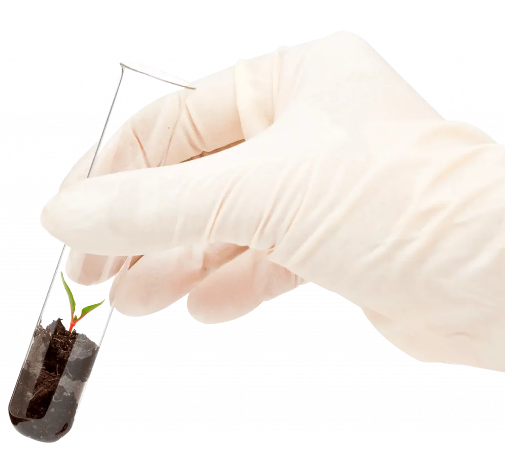
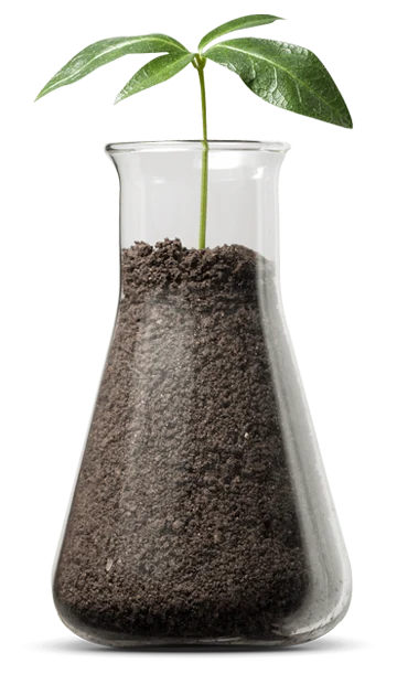
AgritecGEO’s expert advisors support their recommendations based on data obtained from the laboratory.

To conduct an analysis of the soil-plant-water system, testing of soil, leaf, fruit, irrigation water, and soil solution is required.

Proximity sensors

To understand the characteristics of the environment in which the crop grows and the effect of that environment on its development and growth, it is necessary to have high-tech sensors in the soil, on the plant, and in the air.
sensores
clima inteligente1

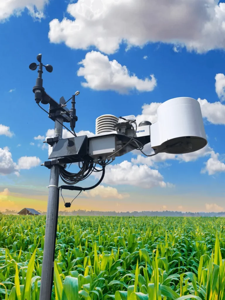
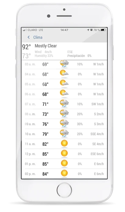
Smart Weather

Our smart climate system provides valuable information on various climate properties. Also, through the alert system configured in AgritecGEO, you will receive notifications when your crop is under stress conditions.
imagenes satelitales

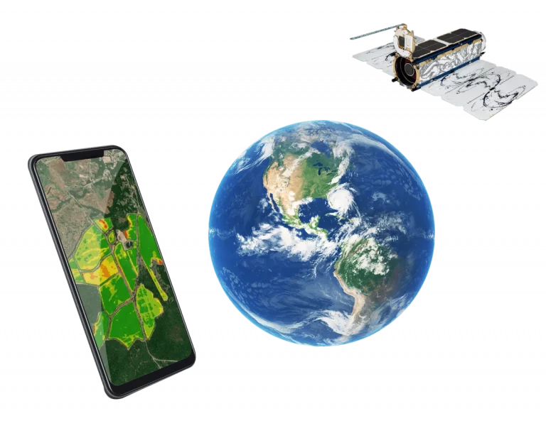
Satellite Images

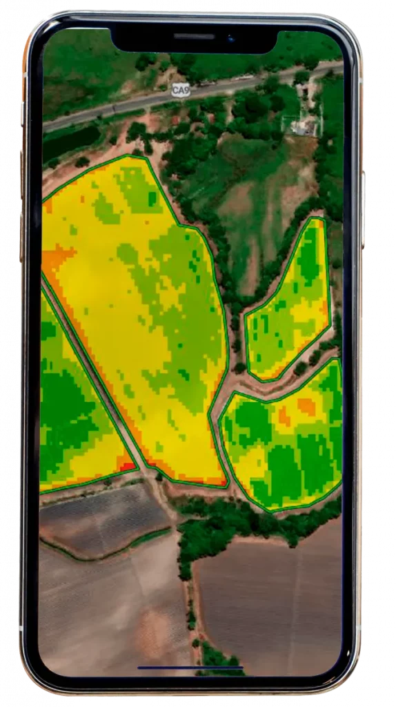
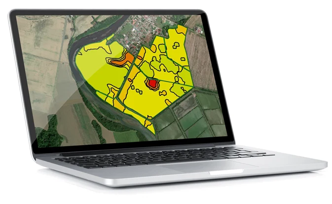
With this AgritecGEO service, you will have access to the assessment and qualification of the entire crop area with the required frequency.

High-resolution
images

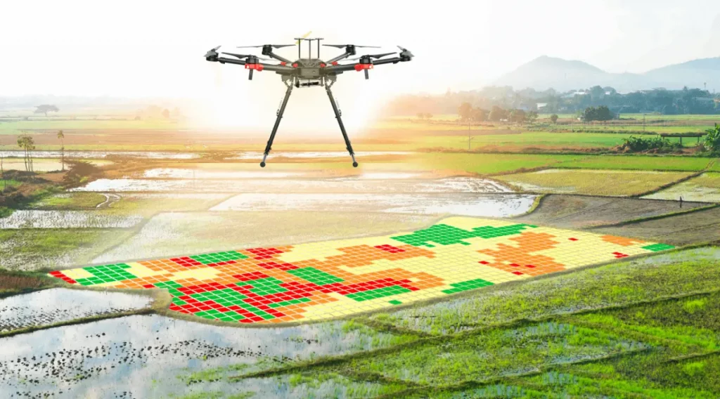
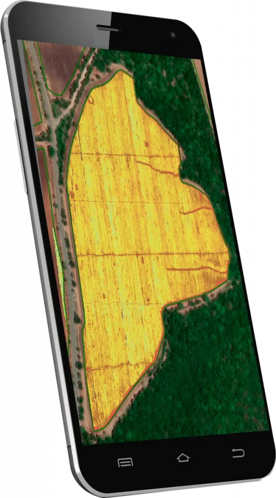
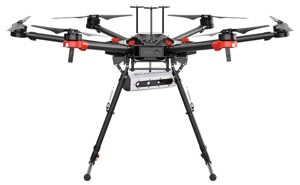
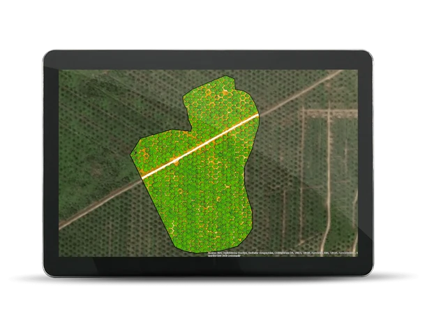
It is possible to observe the phenological properties of each plant in the field with a resolution of up to 3 centimeters using high-tech sensors installed on drones that fly over the crop and collect information based on the spectral reflectance of each plant.
imagenes en alta

Forecasting models

The user will receive alerts that will inform them in advance about the climatic conditions that will favor the development of foliar or fruit diseases.

Customized solutions
for the crop

Based on the information from homogeneous
management
zones and laboratory results, AgritecGEO
offers a portfolio of solutions based
on nutrition and protection
products developed with the highest
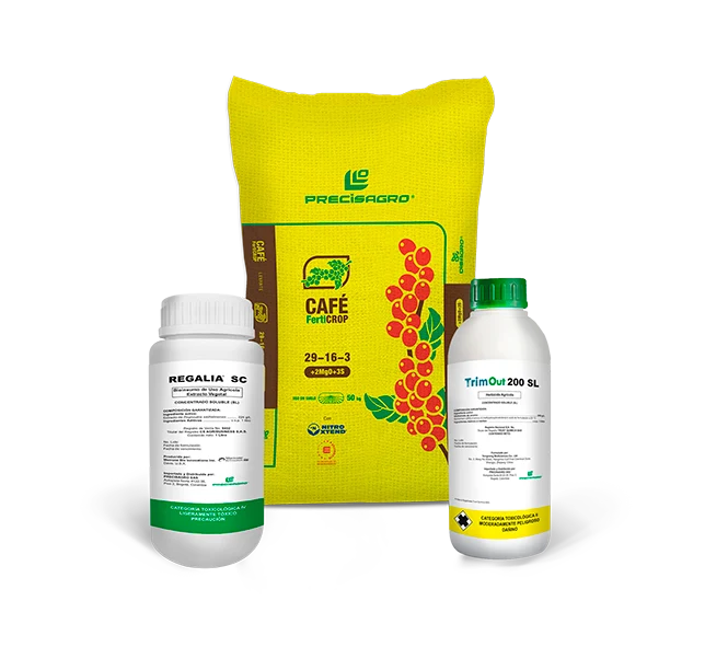
technology and specifically designed for each crop.
soluciones a la medida co 0
informacion de mercado

Market
Information

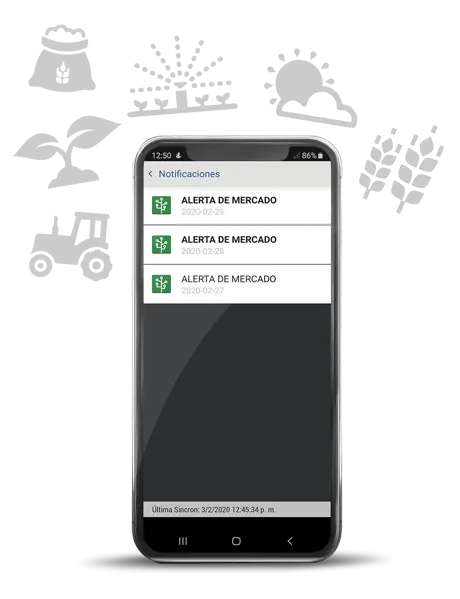
AgritecGEO consistently communicates relevant
global information on topics such as product prices
on the stock market, agricultural input costs,
and agricultural news.

And all through a software via a Free App installed on your phone.

Technology that integrates

imagen 09

Consult the guide and tutorials for using our app.

Subscribe to our AgritecGEO newsletter

Full name *
Email*
Phone *
Contry *
Crop of interest *

Newsletters

Download our newsletter for free and learn all about

AgritecGeo.

Descargar El archivo se descargará
en formato PDF

Access the Newsletters library

tablet

To learn more about AgritecGEO and our service levels, contact us at

service levels write to us at:
imagen 08

To activate your account we need to validate the following data:

Advanced
farming software

Advanced agriculture software is an agile communication method designed by DISAGRO to allow its clients to view all the digital agriculture services we exclusively offer in the region.

Agronomic consulting

The starting point for effective agronomic advisory is the creation of homogeneous management zones. AgritecGEO quantifies soil spatial variability through sampling of physical and chemical properties. Based on crop needs and nutrient availability in these zones, precise agricultural input recommendations are made.

AgritecGEO offers three methods for dividing homogeneous management zones:

Power Zones

Vegetation indices are generated to identify the foliar behavior of the crop over recent years, based on historical satellite images, grouping areas that have shown similar vigor and health throughout this period.


Soil Physics

Based on an optimal design for the crop and the topography of the land, soil sampling is conducted, and parameters such as pH, electrical conductivity, texture, density, compaction, and porosity are analyzed.

Soil Fertility

A specific soil sampling plan is designed for the crop or land, analyzing macro and micronutrients, as well as cation exchange capacity. Based on this zoning, the optimal location for sensors, the frequency, and the dosage of management practices such as irrigation, protection, and crop nutrition are determined.

Analysis and Diagnosis

Soil Analysis  

This methodology provides insight into the spatial variability of different macro and micronutrients in the soil and their availability to the plant. It is a fundamental tool required for designing optimal nutrition programs for all crops. Routine performance of these analyses allows for understanding the impact of fertilization, irrigation, and preparation practices on soil fertility.

Leaf Analysis  

Determines the content of macro and micronutrients in the sampled part of the plant, which is commonly the leaf. Correct interpretation of leaf analysis is used to estimate the nutritional status of the plant and indirectly assess the soil’s ability to supply nutrients to the crop. This analysis assumes that the sampled tissue reflects the nutrient accumulation in the entire plant and other plants in the crop. Therefore, the quality of sampling is the most determining factor in the representativeness of the obtained results.

Fruit Analysis  

Designed to determine the nutritional composition and total mineral content in the fruit. This methodology differentiates physiologically active minerals within the fruit, such as calcium and potassium, and quantifies properties related to flavor. These parameters are integrated to assess fruit quality, optimal harvest time, post-harvest life, and storage characteristics.

Soil Solution Analysis  

To understand how much of the applied fertilizer and native nutrient supplement is available for plant absorption, AgritecGEO’s technical staff installs suction probes at various depths, simulating roots and collecting soil solution samples. These samples are then analyzed in the laboratory to determine nutrient concentrations.

Irrigation Water Analysis  

This analysis is essential for estimating the physicochemical properties of irrigation water and its nutrient contribution. With this information, fertilizer solutions can be designed if fertigation is practiced. Additionally, this analysis provides information about the saline nature of the irrigation water, allowing for the estimation of its effect on soil pH and salinity where it is applied.

Proximity sensors

Humidity sensors:

By adopting these sensors, it is possible to estimate the volumetric water content in the soil every 10 centimeters up to a depth of 60 centimeters, every 15 minutes. This helps to determine whether rainfall or irrigation water is infiltrating the root zone of the crop, and thus decide the most opportune time for the application of soil fertilizers.

With the alert system configured in AgritecGEO, it is possible to automate irrigation timings and flows.

Conductivity or salinity sensors:
These sensors measure the electrical conductivity of the soil, which correlates with the concentration of salts or dissolved ions. This helps to monitor soil salinity levels and manage irrigation practices to prevent salt buildup that could negatively affect crop growth. They provide real-time data to ensure that salinity levels remain within optimal ranges for plant health.

Chlorophyll sensors:
Chlorophyll content in plants is positively correlated with the crop’s greenness index and the nitrogen content in the plants, and consequently, their photosynthetic activity.

Smart Weather

The weather stations provided by
AgritecGEO offer a service called smart climate, which provides information on various climate properties such as rainfall intensity and frequency, air temperature, relative humidity, wind speed and direction, solar radiation, and leaf moisture.

The smart climate service provides weather forecasts for rainfall, air temperature, wind speed and direction, cloud cover, and potential evaporation.

Satellite Images

Satellite imagery allows for digital monitoring of large crop areas with high resolution and frequency.

The images can identify stressed areas in the crop due to pest infestations, diseases, or weeds, as well as zones with nutritional or water deficiencies.

High-resolution images

Using these images, it is possible to identify sick plants or those with nutritional deficiencies (especially nitrogen and sulfur); additionally, create population or density maps, stress index maps, photosynthetic activity maps, and various vegetation index maps that adapt according to the growth stage of the crop or the needs of the farmer.

The adoption of this service allows for a diagnosis of each and every plant in your crop, with the aim of implementing differentiated practices in areas that require them.

Forecasting models

The smart weather model offered by AgritecGEO estimates the probability of foliar disease occurrence. It sends alerts informing about the periods when climatic conditions favor infection.

AgritecGEO has 85 models for the incidence of economically important diseases across forty crops. These models can be activated exclusively when the intelligent climate service has been contracted.

Customized solutions
for the crop

Based on the information from homogeneous management zones and laboratory results, AgritecGEO offers a portfolio of solutions based on nutrition and protection products developed with the highest technology and specifically designed for each crop.

Market
Information

AgritecGEO consistently communicates relevant global information on topics such as product prices on the stock market, agricultural input costs, and agricultural news.